
A group of researchers has been exploring the potential effects of an Alaskan earthquake generated tsunami on the California coast. The collaboration between the U.S. Geological Survey (USGS), National Oceanic and Atmospheric Administration (NOAA) and California Office of Emergency Services has generated what they are calling a Science Application for Risk Reduction (SAFRR) Tsunami Scenario. […]
Coast Guard Conducts Spilled Oil Recover...

Coast Guard personnel aboard the Coast Guard Cutter Hickory conducted Spilled Oil Recovery System training in Kachemak Bay near Homer, Wednesday. The annual SORS training, which included extensive classroom-based Hazardous Waste Operations and Emergency Response education and the hands-on deployment of the vessel’s SORS equipment, is required by the Coast Guard in order to ensure […]
Alaska Coast Guard Labor Day Safety Noti...
An Alaska Coast Guard Labor Day safety notice has been prepared for the last big weekend of Summer. Petty Officer 2nd Class Brett Rielly, a Boatswain’s Mate at Coast Guard Station Juneau, shares tips for safe boating during the Labor Day weekend at the station pier. Boaters can prepare by bringing all the necessary safety […]
Alaska Wildfire Tornado or Firenado
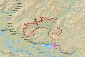
Tim Whitesell, a firefighter for the Alaska Division of Forestry has posted a video of an Alaska wildfire tornado or firenado on YouTube. An example of extreme fire behavior, footage of the phenomenon highlights the high temperatures and severe wildfires being seen across Alaska this season. Fire tornadoes or fire whirls are generated by rapidly […]
Diseases Linked to International Travel ...

Alaska’s Department of Health and Social Services has published a useful bulletin discussing diseases linked to international travel for Alaska residents. The Department notes that Americans travel internationally some 61 million times and of this total, 50 million visits were to developing countries. Many travelers visiting developing regions experience heath problems and up to eight […]
Alaska Topographic Maps will be Updated
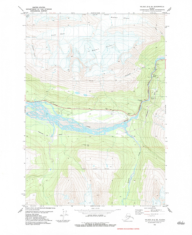
The United States Geological Survey (USGS) has announced Alaska topographic maps will be updated this year. Topographic maps are characterized by the use of contour lines to show land relief or terrain features. Contours represent lines of equal elevation and spacing between lines is a fixed value. Closer contour lines describe steeper terrain features. Commonly […]