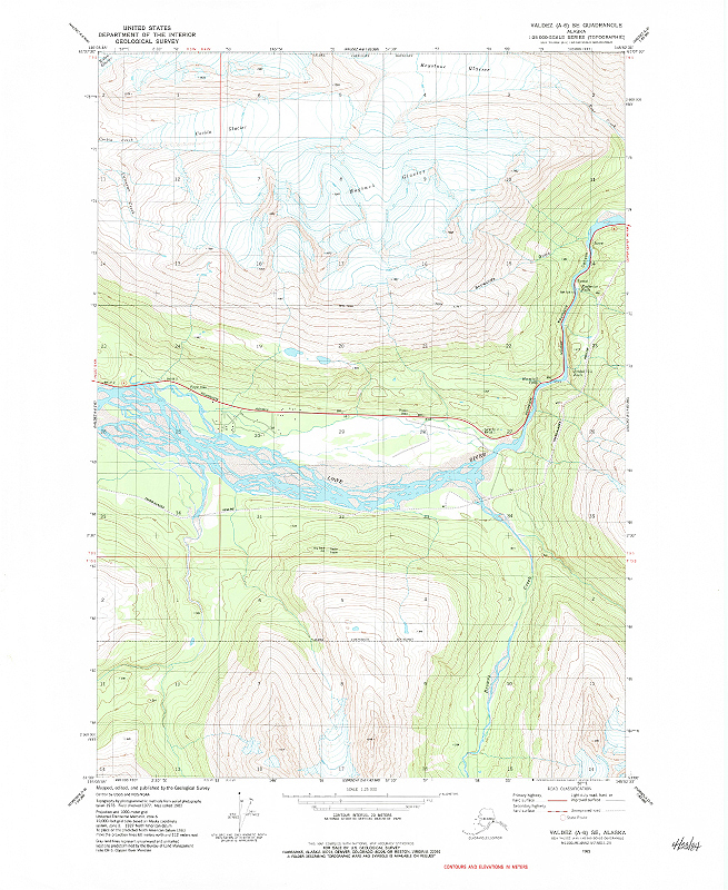
The United States Geological Survey (USGS) has announced Alaska topographic maps will be updated this year. Topographic maps are characterized by the use of contour lines to show land relief or terrain features. Contours represent lines of equal elevation and spacing between lines is a fixed value. Closer contour lines describe steeper terrain features. Commonly […]
USGS Topographic Map Data for Mobile Dev...
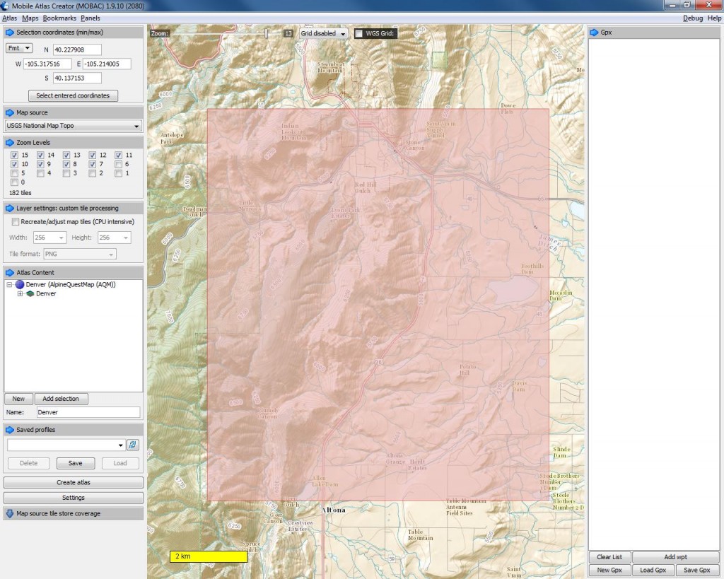
Mobile device users can now use topographic map data from United States Geological Survey’s (USGS) The National Map on their phones. Using the digital map information, with the phone’s built in GPS allows for precise location and navigation. Activities like hiking, biking or hunting, that depend on accurate navigation will benefit from this service. The […]