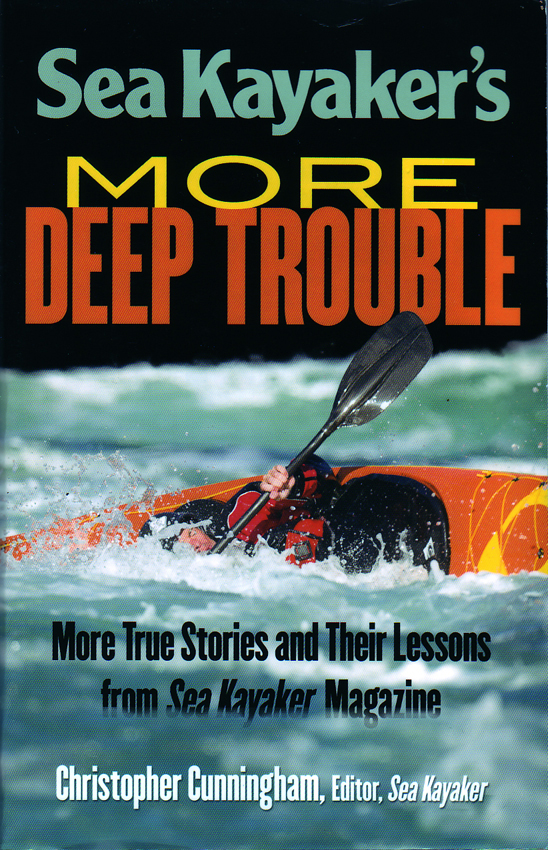
By their own admission, most Alaskans will admit to having a knack for getting into difficult outdoor situations. After the first big move to Alaska, it is a wonder we survive first contact with the wilderness just outside our door and lessons it holds for the unprepared. More deep trouble for kayakers is the theme […]
Alaska Coast Guard Labor Day Safety Noti...
An Alaska Coast Guard Labor Day safety notice has been prepared for the last big weekend of Summer. Petty Officer 2nd Class Brett Rielly, a Boatswain’s Mate at Coast Guard Station Juneau, shares tips for safe boating during the Labor Day weekend at the station pier. Boaters can prepare by bringing all the necessary safety […]
Alaska Topographic Maps will be Updated
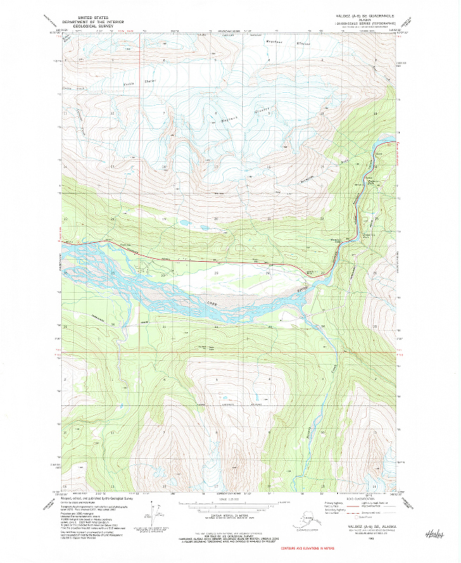
The United States Geological Survey (USGS) has announced Alaska topographic maps will be updated this year. Topographic maps are characterized by the use of contour lines to show land relief or terrain features. Contours represent lines of equal elevation and spacing between lines is a fixed value. Closer contour lines describe steeper terrain features. Commonly […]
Butler Alaska Motorcycle Map Released

Butler Motorcycle Maps has released their Great Rides of Alaska motorcycle map. The Butler Alaska motorcycle map highlights the paved and dirt roads suitable for use by motorcyclists visiting the Great Land. It provides tips on the best places to eat, rest and explore in Alaska. This map reflects the field research taken by MotoQuest […]
Steep Creek Juneau Sockeye Salmon Camera
The Tongass National Forest has launched a Sockeye salmon camera at Steep Creek in Juneau, Alaska. Steep Creek is near Mendenhall Glacier. The webcam is in eighteen inches of water. Sockeye arrived at the creek in mid-July and will be present until the end of August. The Forest Service notes that Steep Creek Sockeye average […]
Walrus Islands State Game Sanctuary prov...
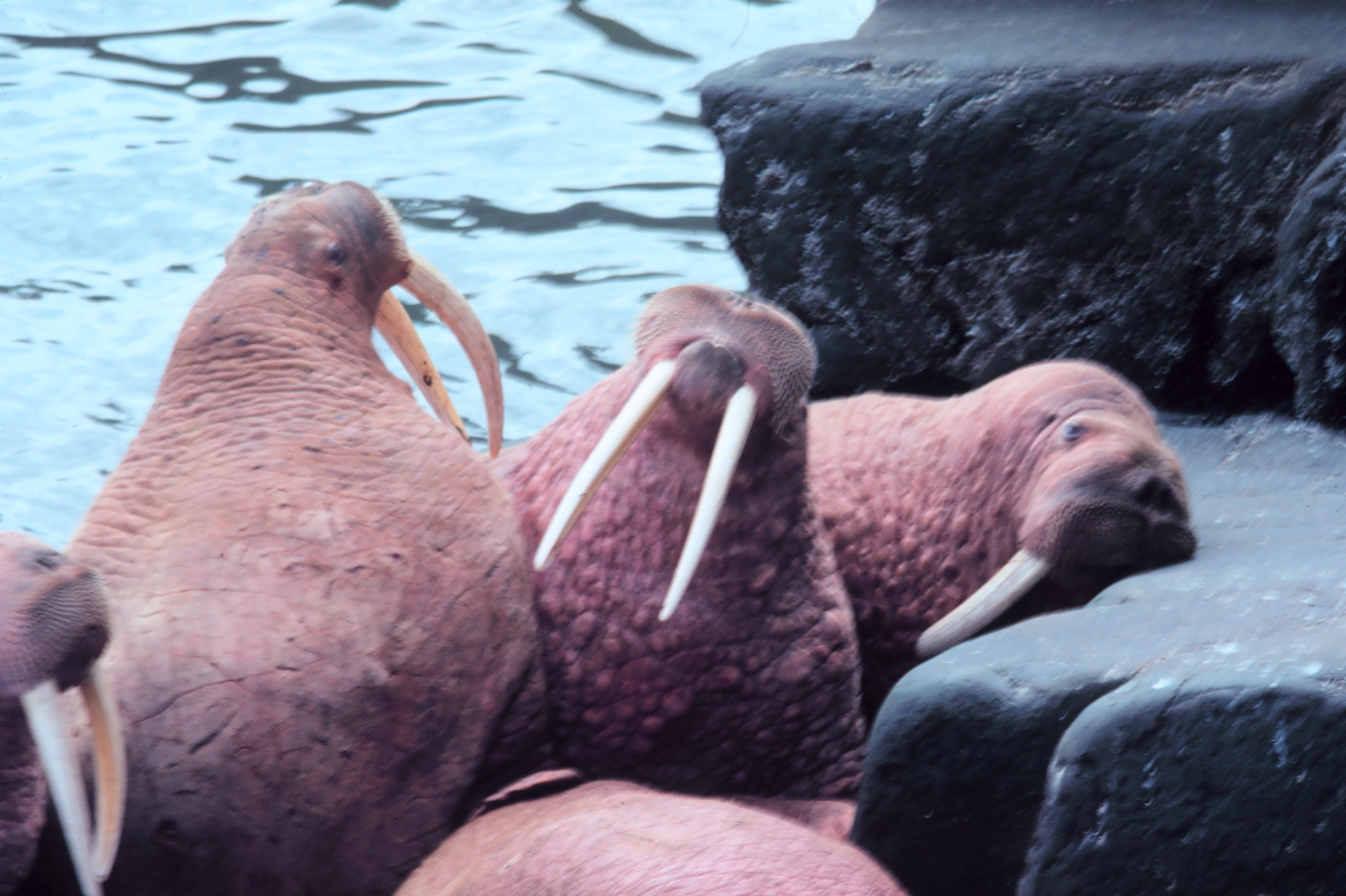
A group of seven remote islands in southwest Alaska have been set aside by the State of Alaska to protect one of the largest Pacific walrus (Odobenus rosmarus divergens) haulout locations known in North America. Managed by the Alaska Department of Fish and Game (ADF&G), the Walrus Islands State Game Sanctuary provides a unique chance […]